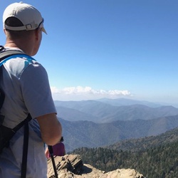
Gilbert Gaul Loop Loop
4.0 mi
Distance
2 hrs 23 min
Time
terrain
138 ft
Elev Gain
Overview
This is a easy loop trail in Fall Creek Falls State Park.
Rate this Hike
★★★★★