United States
›
South Dakota
›
Black Hills National Forest
›
County Road 631
County Road 631
(
edit
)
based on
22
tracks & routes
|
|
EASY
#503
hike out of 777 in
Black Hills National Forest
|
EASY
link
Copy Link
email
Email
directions
Driving Directions
file_download
GPX/KML
GPX
KML
2.8
mi
Distance
1
hrs
36
min
Time
terrain
384
ft
Elev Gain
Overview
This is a easy one way trail in Black Hills National Forest.
Rate this Hike
★
★
★
★
★
Public Tracks
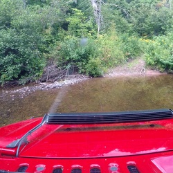
Marflue
7 years, 1 month ago
631.1
Elevation Profile
Seasonal Popularity
Nearby Hiking Trails
County Road 233 2D
★
★
★
★
★
EASY
2.0
mi
Rhoads Fork
★
★
★
★
EASY
4.6
mi
Long Draw Road
★
★
EASY
1.7
mi
County Road 189
★
★
★
EASY
2.5
mi
National Forest Road 631.2c - Trebor Draw Br 2c
★
★
★
EASY
1.8
mi
South Rapid Creek Road
★
★
★
EASY
2.0
mi
County Road 631
★
★
★
EASY
4.2
mi
Black Fox Campground via Black Fox Camp Road
★
★
★
MODERATE
7.3
mi
National Forest Road 189.2a - Flag Mtn Br 2a
★
★
★
EASY
1.2
mi
White Tail Peak via County Road 190
★
★
★
EASY
3.8
mi